The least populated and southernmost continent on Earth is Antarctica . The geographic south pole is located there. It is almost entirely south of the Antarctic Circle and surrounded by the southern ocean. With a land area of 14,200,000 km^ (or 5,500,000 sq mi), Antarctica is the fifth largest continent in the world. It is almost twice the size of Australia and larger than Europe. With an average thickness of 1.9 km (1.2 mi), the majority of Antarctica is covered with ice.
The Southern Ocean Encircles Antarctica, Which Is Asymmetrically Located Around The South Pole And Mostly South Of The Antarctic Circle, One Of The Five Major Circles Of Latitude That Define World Maps
There are rivers in Antarctica; the Onyx is the longest. With an area of little less than 1.5 times that of the United States, Antarctica is the fifth largest continent, spanning over 14.2 million square kilometers (5,500,000 square miles).
The length of its coastline is around 18,000 km. The four types of coastal areas that make up the coast as of 1983 are as follows: 44% is exposed rock, 38% is made up of ice walls that rest on rocks, 13% is made up of ice streams or the edge of glaciers, and the remaining 5% is floating ice in the form of an ice shelf. The lakes at the base of the continental ice sheet are mostly found in the oases of the McMurdo Dry Valleys.
Found beneath Russia’s Vostok Station, Lake Vostok is the world’s largest sub-glacial lake and among the largest lakes overall. Previously thought to have been sealed off for millions of years, scientists now estimate that the lake’s water is replaced every 13,000 years by the slow melting and freezing of ice caps. The summertime brings the possibility of melting the ice at the lake’s edges and the temporary formation of liquid moats.

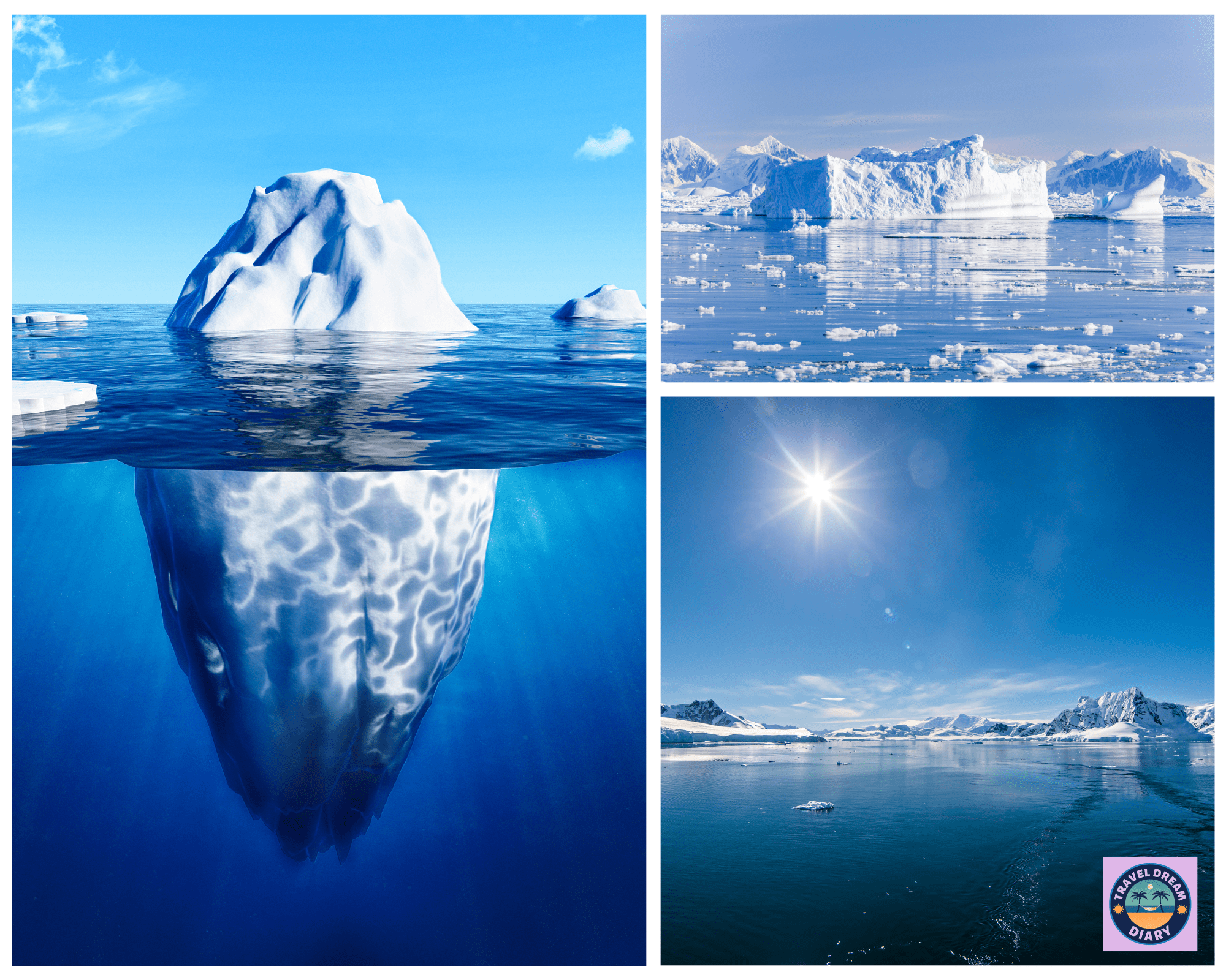
Photo Source : OanaAlexandra on canva.com

Antarctica
Subscribe to our newsletter
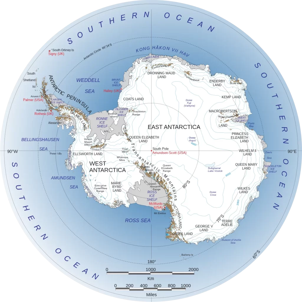
West Antarctica map and East Antarctica are separated on the map of Antarctica by the Transantarctic Mountains, which run from Victoria Land to the Ross Sea. The Antarctic ice sheet, which averages 1.9 km (1.2 mi) in thickness, covers the great majority of Antarctica.All oasis are covered by the ice sheet, with the exception of the McMurdo Dry Valleys, which are situated near the shore.19] The process of many Antarctic ice streams flowing to a single Antarctic ice shelf is characterized by ice-sheet dynamics.
At 4,892 meters (16,050 feet), Vinson Massif in the Ellsworth Mountains is the highest summit in Antarctica. The world’s southernmost active volcano, Mount Erebus, is located on Ross Island and erupts almost ten times a day. There have been eruption-related ash discoveries 300 km (190 mi) from the volcanic crater. There is proof that there are numerous volcanoes beneath the ice, which could endanger the ice sheet in the event that activity levels increase.
At 4,091 meters (13,422 feet), the Dome Argus ice dome in East Antarctica is the highest Antarctic ice structure. It is among the driest and coldest regions on Earth, with yearly precipitation of 1-3 cm (0.39-1.18 in) and temperatures that can drop as low as -90 °C (-130 °F). With our help, discover fantastic alternatives for Antarctic travel and cruises!
Vinson Massif Vinson Massif, Antarctica’s highest mountain, seen from the northwest Coats Land, Queen Maud Land, Enderby Land, Mac Robertson Land, Wilkes Land, and Victoria Land are all located in East Antarctica. The Eastern Hemisphere contains all of the region, with the exception of a little section. The East Antarctic Ice Sheet covers a substantial portion of East Antarctica. Antarctica is surrounded by a large number of islands, the most of which are volcanic and quite young geologically. The islands of the Kerguelen Plateau are the most notable exception to this rule; the earliest of them originated about 40 million years ago.


